The Forest Pulse
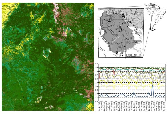
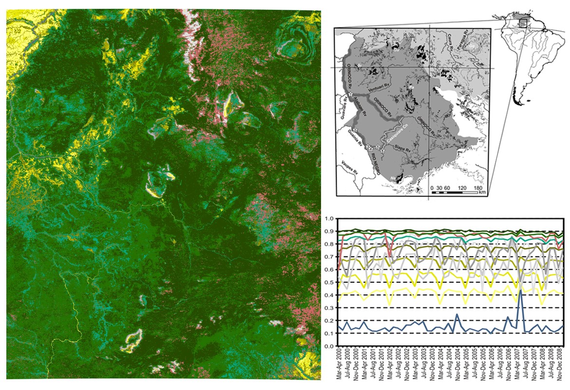
“The Forest Pulse” is a 250-m-resolution land-cover map of the western Guyana Shield (Estado Amazonas, Venezuela) based on remote sensing and traditional ecological knowledge (TEK). It was developed by the University of Malaga and six Amazonian communities. The map in raster format for geographic information systems (GIS), its metadata, and the scientific paper describing all production details (Olivero et al., 2016) are available here for downloading.


